

Everything the hunting team needs, including live hunts with dog tracking
The app for hunting teams. Plan the hunt, see the team and the dog live on the map, log what was taken. 90 days free, no card required.
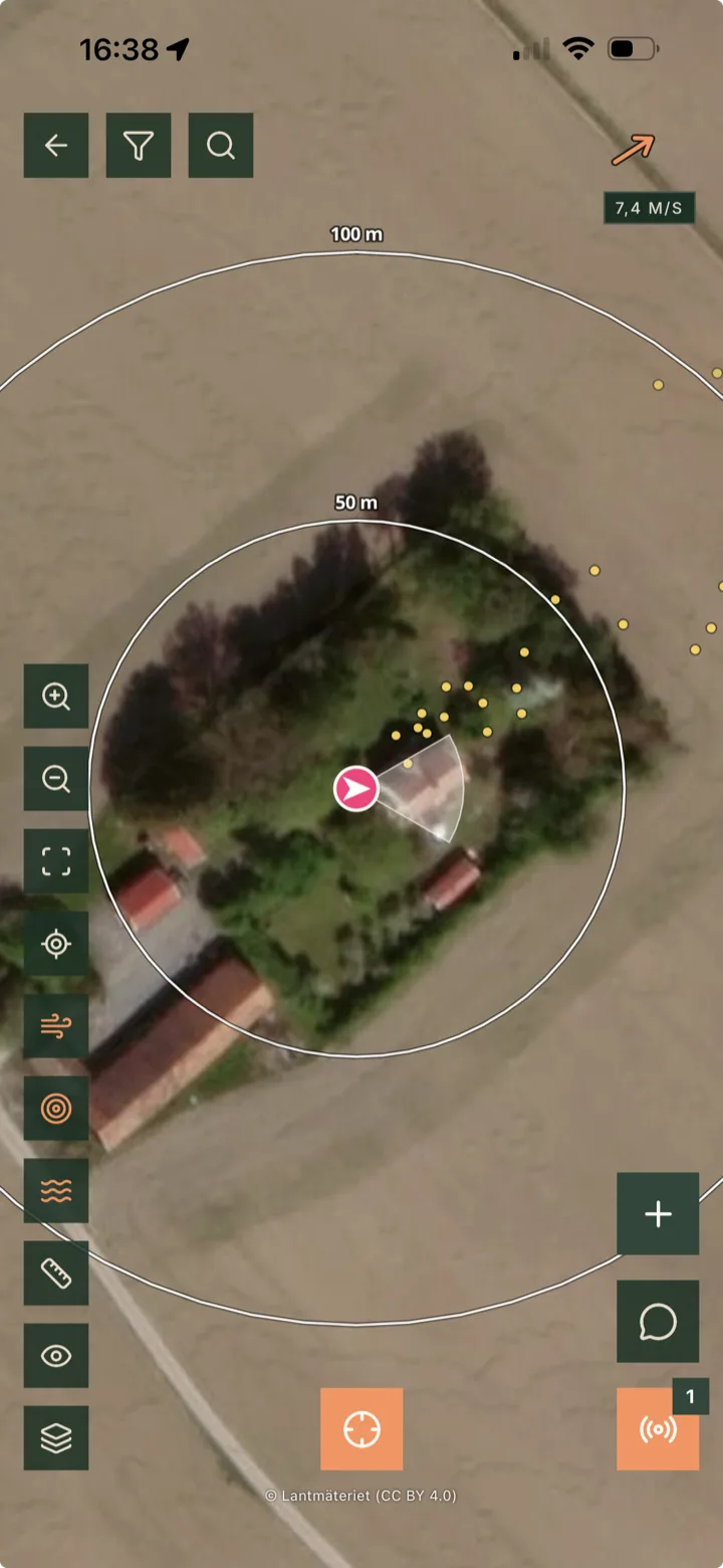
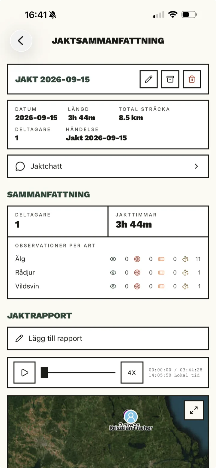
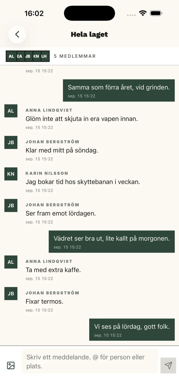
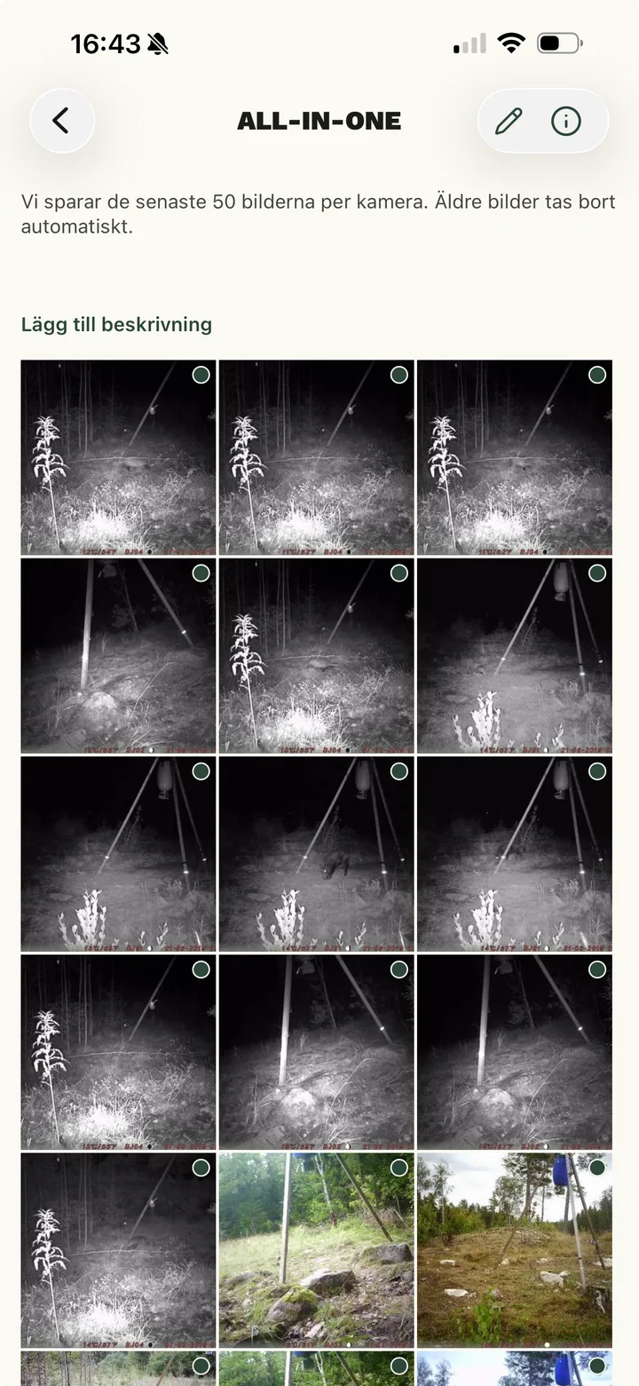
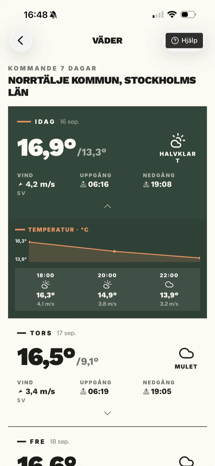
Hunting map
Stands, towers, borders and your own areas on Lantmäteriet topo or aerial imagery. Import GPX and see property lines.
- Highlights
- Aerial imagery from Lantmäteriet
- Topographic map
- Property borders
- Hill shading
- Labels: group stands and areas, show or hide with one tap
- Bulk edit markers and areas
- Print studio, A4 to A0
- Export for 3D printing
Latest news
All news 15 September 2026
Your tracker, your camera, your data
The EU Data Act gives you a right to the data from your dog tracker and trail camera, and to have it sent to Jaktli. We have written the letters for you.
Read more 6 September 2026
Version 1.13 is out
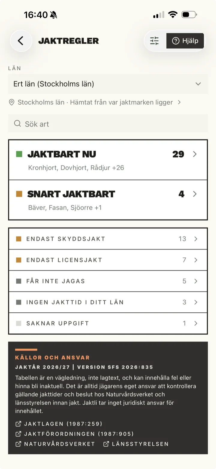
New in Jaktli 1.13: book stands and towers, several hunts at once, labels on the map, observations added afterwards, new roles and clearer hunting rules.
Read more
Available everywhere
One account. iPhone, Android, or browser.
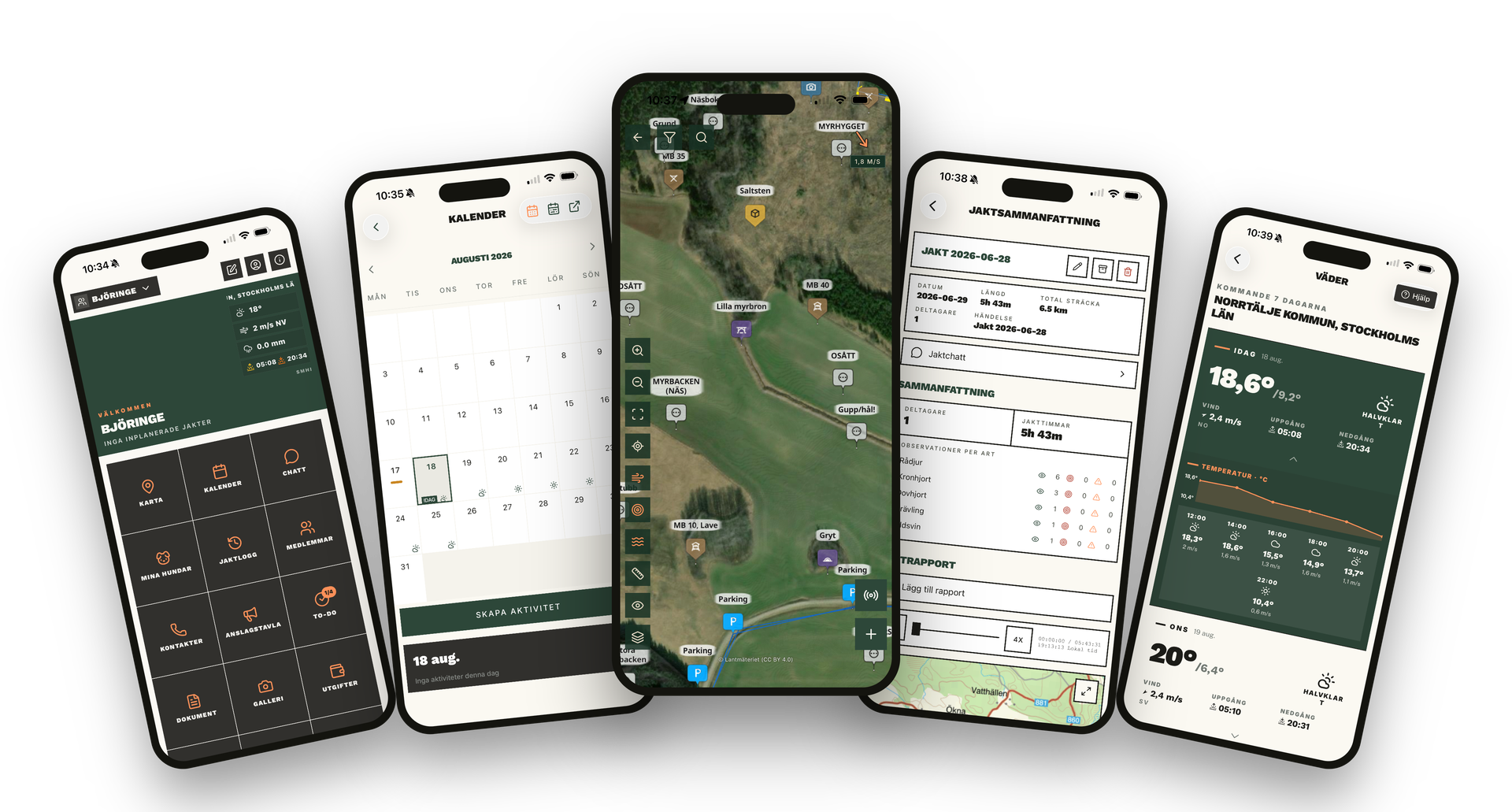


Also available in your browser
Everything your hunting team needs
On the pass
Before the hunt
Between hunts
Personal
Take a closer look at the features
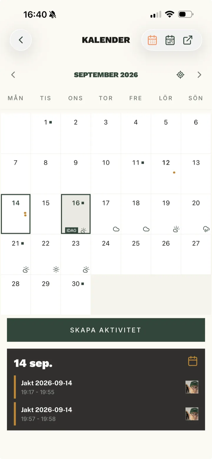
- A hunting calendar for the whole team
- Live hunt with real-time GPS
- The hunt leader's toolkit
- A hunting map for the whole grounds
- A harvest log without paper slips
- Trail camera images in one app
- The whole hunting team in one app
- External guest hunters, with a code
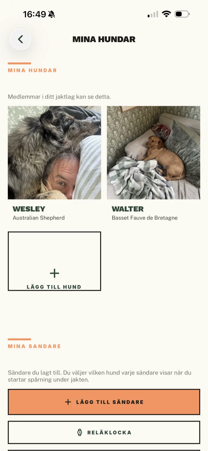
- Your hunting dogs in one place
- Dog tracker on the team map
- Hunting statistics without the counting
Team pricing
- Unlimited members
- Calendar with sign-up
- Interactive map
- Live hunt tracking
- Notice board
- Document archive
- Task management
- Photo gallery
- Game cameras
- Expense tracking with receipts
- Contact list
- Hunt log and history
- Team chat
- Push notifications
- Dog tracking on the map
- Harvest log with weights
- Season statistics
- Guest invites with QR code
Single annual invoice. Pay with Swish or card.
A round of coffee for the whole season.
Common questions
- What is Jaktli?
- Jaktli is an app for hunting teams: hunting calendar, hunting map, live hunts with GPS, dog tracking, hunt log, harvest log, trail cameras and chat. Available for iPhone, Android and the browser.
- What does Jaktli cost?
- 150 SEK per member per year, one invoice per team. Guest hunters, landowners and other restricted roles are free. Try it free for 90 days, no card required.
- Does Jaktli work with dog trackers?
- Yes. With a Garmin Alpha the dog shows up via the watch (Connect IQ) on the team map during a live hunt. Support for more trackers is on the way, and soon OpenTrack, which turns a spare phone into a tracker.
- Can we switch from WeHunt or Easyhunt?
- Yes. Export the map as a GPX file and import it in Jaktli, and your stands, towers and boundaries come along. Guides are in the documentation. Compare Jaktli with WeHunt
Compare Jaktli with other hunting apps
Bring the team into Jaktli
Free for 90 days, no card. Create the team, invite the members and have the map ready for opening day.