
Version 1.10 is out
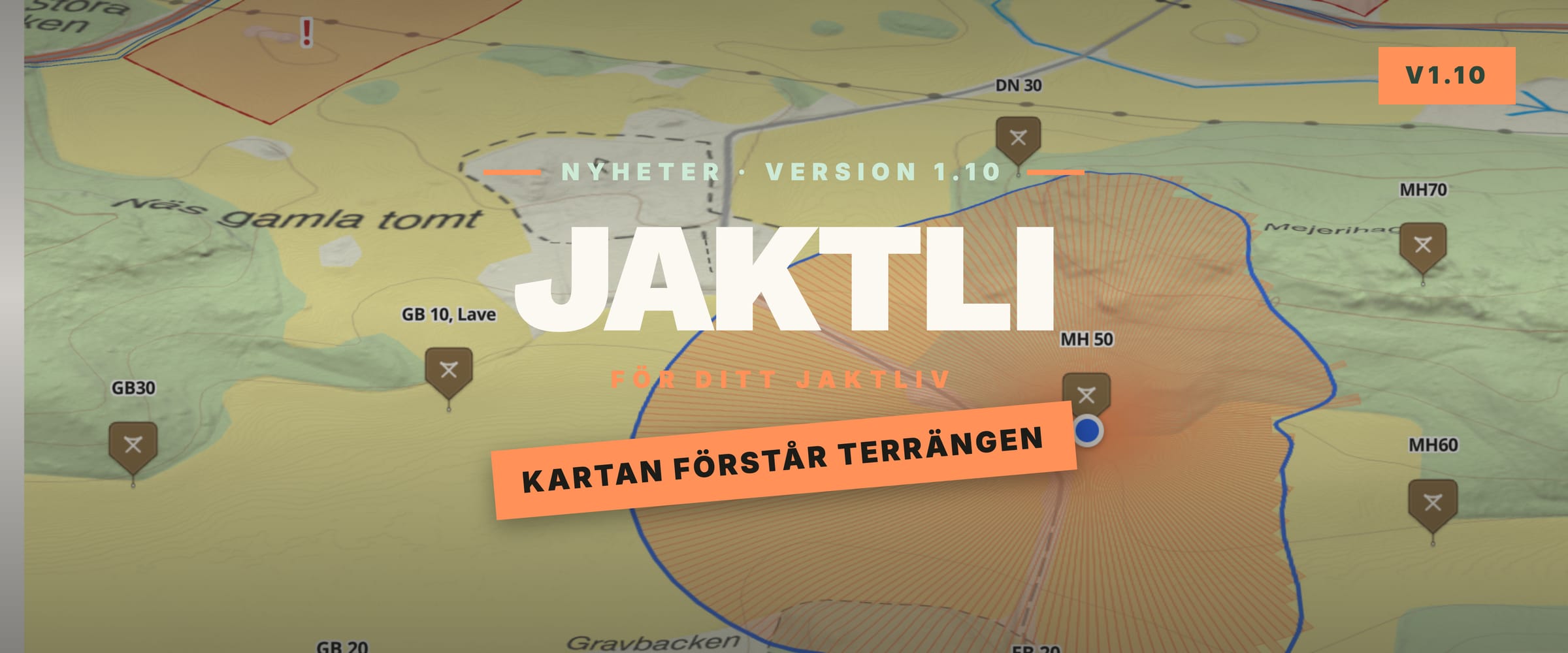
We have released version 1.10 of Jaktli. This update is all about the terrain.
Hills and valleys on the map
The map now has elevation data for all of Sweden, from Lantmäteriet's national elevation model. Turn on hillshading and hills, valleys, and ravines stand out right in the map, on both your phone and the web. In the web app you can also tilt the map and see your hunting ground in 3D.
Line of sight and visible area
The elevation data makes the map smarter. From a tower or stand you can show the area that is actually visible from there, taking hills and dips into account. Drag the point to try a new placement, and save it if it works better. You can set an eye height per tower, so a tall tower is counted correctly.
There is also a line-of-sight tool that shows whether the view is clear between two points, and an overview of the team's combined coverage from all towers and stands at once. Useful when you plan new stands.
Property boundaries
You can now show property boundaries on the map, with property designations from Lantmäteriet. Turn them on in the map's layer menu and see exactly where the lines run, right over your hunting ground.
3D print your hunting ground
Do you or someone on the team have a 3D printer? In the web app at jaktli.se you can now select an area of your hunting ground and download it as a printable terrain model. The heights are built from the same elevation data as the map, and your hunting area's boundaries and paths are etched into the surface. Larger areas are split into tiles held together with magnets, up to 36 tiles. Completely free to use.
Hunt report
After the hunt, whoever led it can write a short hunt report, saved in the hunt log together with the trails and statistics. That way everyone on the team can read how the day went, including those who could not join.
More for the dog
Under My Dogs there is now a map of your own where you see your dogs even when no hunt is running. During the hunt, the tracker overview shows the dog's photo and breed, and whether the dog is moving, standing still, or has treed.
The Garmin watch app has also been updated: it now shows the dog on a map right on your wrist, and supports more watches, including the Instinct family. Remember that Garmin dog tracking needs both a handheld and a Garmin watch running the watch app.
Trail camera notifications
The whole team now gets a notification when a trail camera sends in a new photo, so you don't have to keep checking. If you'd rather not get it, turn off Game cameras under notifications in your profile.
Fixed weather location
Team leads and secretaries can set a fixed spot for the weather forecast in team settings, instead of the app working out the centre of the team map. Search for an address, use your own position, or point out the spot on the map.
Smaller improvements
The terrain map is now the default background, the map filter remembers your choices, and when several markers sit close together you get a list to pick from when you tap. Hunt replay has its own map controls. Plus several smaller fixes.
Let us know if anything is off. We read all feedback.